
Features Extraction
The aim of this project is to develop an autonomous features extraction tool that allows the user to classify and extract
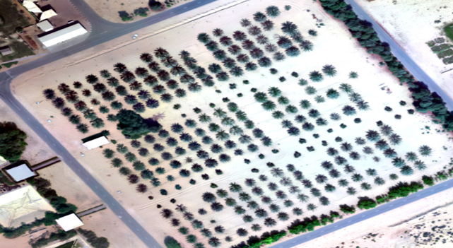
Palm Tree Detection
Palm trees are considered to be a symbolic agricultural heritage in the UAE. Date palms constitute 98% of fruit trees in the UAE,

Digital Watermarking
Satellite imagery is considered as a powerful tool to map and monitor natural and man-made resources changes globally.
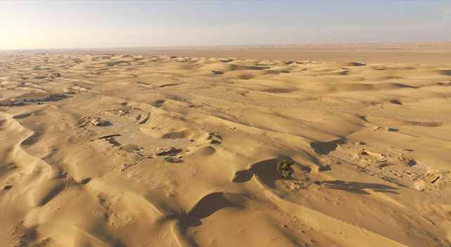
Study of Saruq Al Hadid
Archaeological prospection in Saruq al hadid is of significant interest to find the complete story of prehistoric
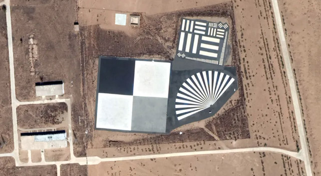
Calibration and Validation
The aim of this project is to learn and apply KhalifaSat Calibration and Validation (Cal/Val) activities

ArcGIS ToolBox for MBRSC
The purpose of this project is to develop toolbox for MBRSC within ArcGIS software, these tools will be tested
Geo-statistical Seismic analysis, and Vulnerability Assessment
Assessing and analyzing the spatial distribution of earthquake events aids in identifying the presence of clustering
Polarized Aerosol retrieval algorithm over urban surfaces
Atmospheric aerosols play an important role in both climate forces and air quality, and different algorithms
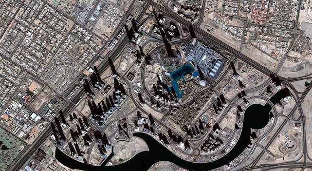
Growth Detection and Urban Sprawl Analysis
Urbanization is a spatial-temporal process that has significant role in economic, social, and environmental structures.